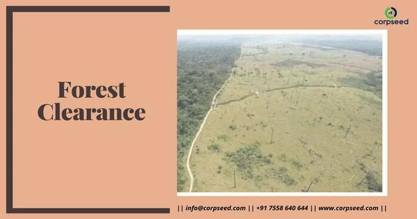
FOREST CLEARANCE
INR 90000
INR 100000

Current advancements in DGPS and drone surveying are shifting from simple data collection to intelligent autonomous systems and multi-sensor integration. Beyond basic 2D mapping, unique data points now focus on real-time decision-making, specialized industrial applications, and advanced positioning techniques. Innovative Technological Shifts AI-Edge Computing: Next-generation drones in 2025 are equipped with onboard AI processors that perform real-time object detection and anomaly classification mid-flight. This removes the need for constant data uplinks and allows for immediate results, such as identifying crop health variations with 93% accuracy compared to ~65% with traditional methods Unique Use Cases & Field Data Submerged Volume Calculations: A novel method uses a “bamboo stick rover” equipped with DGPS to measure underwater sections of excavations, solving a major limitation of traditional aerial drone surveys that cannot see through water.