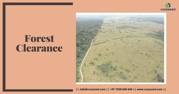
FOREST CLEARANCE
INR 90000
INR 100000

A topography survey is a detailed survey that maps the physical features and elevations of a piece of land to create a three-dimensional map. It identifies natural and man-made features like slopes, water bodies, vegetation, roads, and buildings, and is crucial for planning construction, infrastructure, and land use.